
Open Sky Imageries / Operator profile

SKY
TRAPPER

Lead UAS Operator / RPIC | Open Sky Imageries

Capturing the World From Above.

A personal operator identity within Open Sky Imageries

Brian H. Hunter Sr., founder of Open Sky Imageries

The operator

BRIAN H.
HUNTER SR.

FAA Part 107 Remote Pilot
Lead UAS Operator / RPIC | Open Sky Imageries

Brian H. Hunter Sr., known behind the lens as Sky Trapper, brings an operator’s perspective to Open Sky Imageries—pairing technical precision with an eye for composition, timing, and perspective.

Sky Trapper is Brian H. Hunter Sr.’s personal operator identity within Open Sky Imageries.
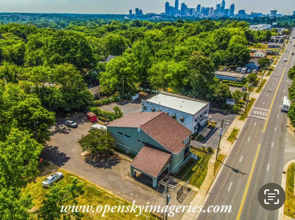
Aerial view of tree-covered neighborhoods and a distant city skyline.
Urban Perspective
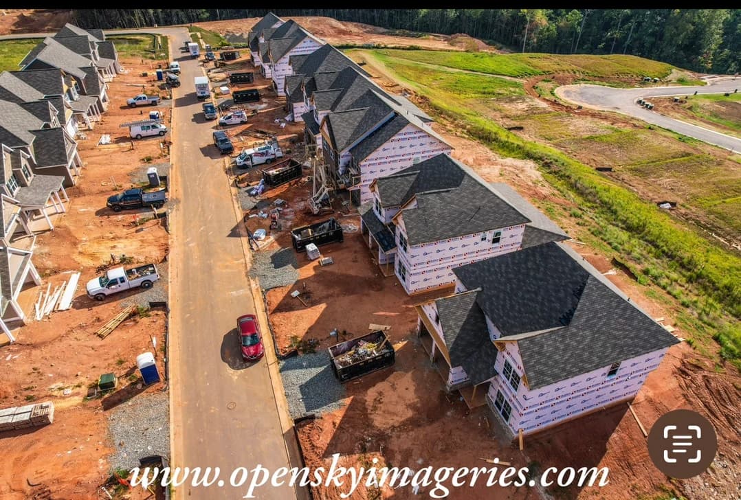
Aerial view of homes under construction beside graded land.
Construction & Development

Selected through the operator’s point of view

SKY TRAPPER — FEATURED WORK

Construction Progress • Commercial Real Estate • Events • Aerial Photography • Operator Perspectives
Residential structure repurposed for medical services.
Aerial Photography
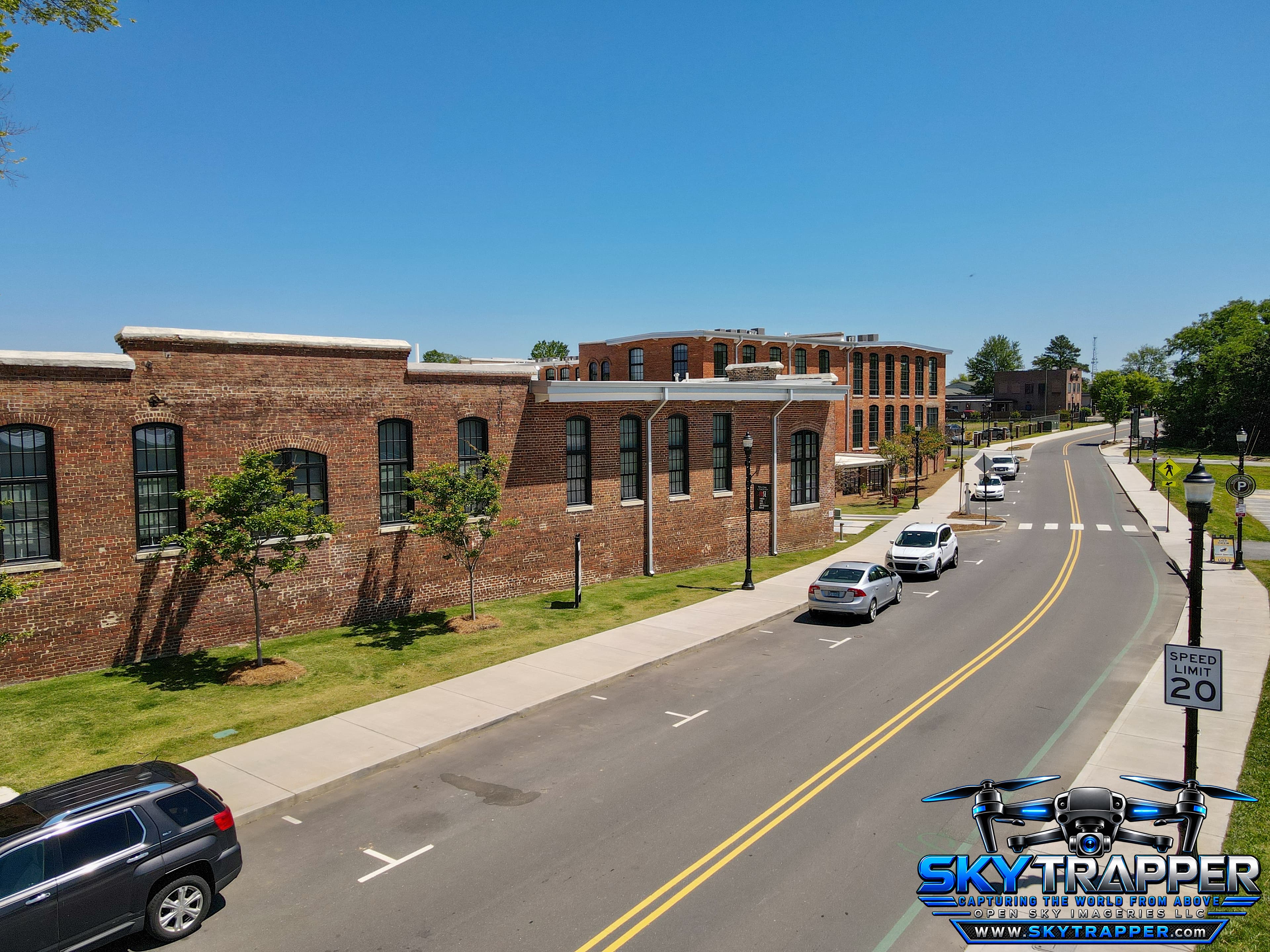
Aerial drone photograph of restored red-brick industrial buildings along a two-lane street, featuring sidewalks, parked vehicles, landscaping, and surrounding architecture.
Aerial Photography
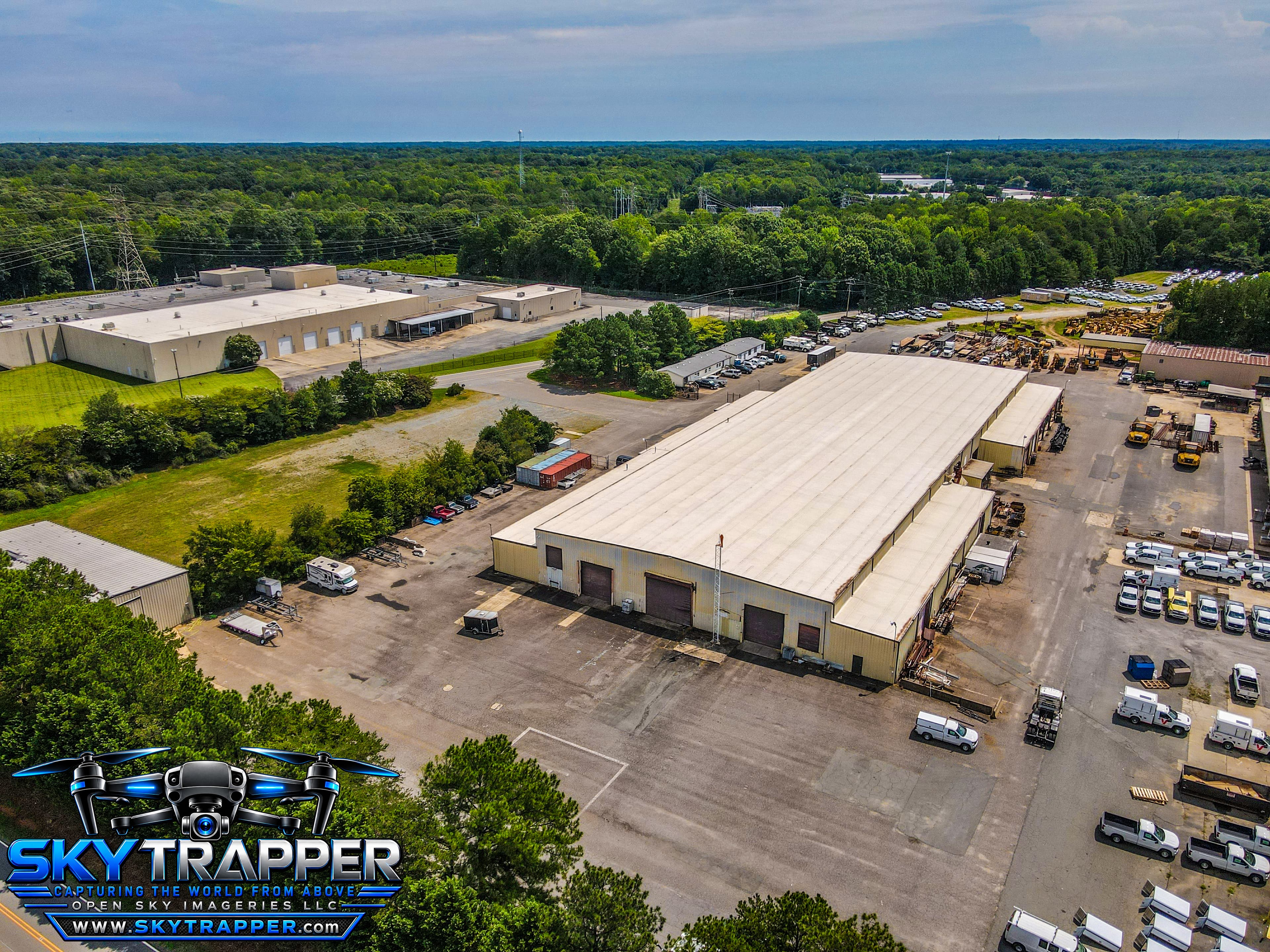
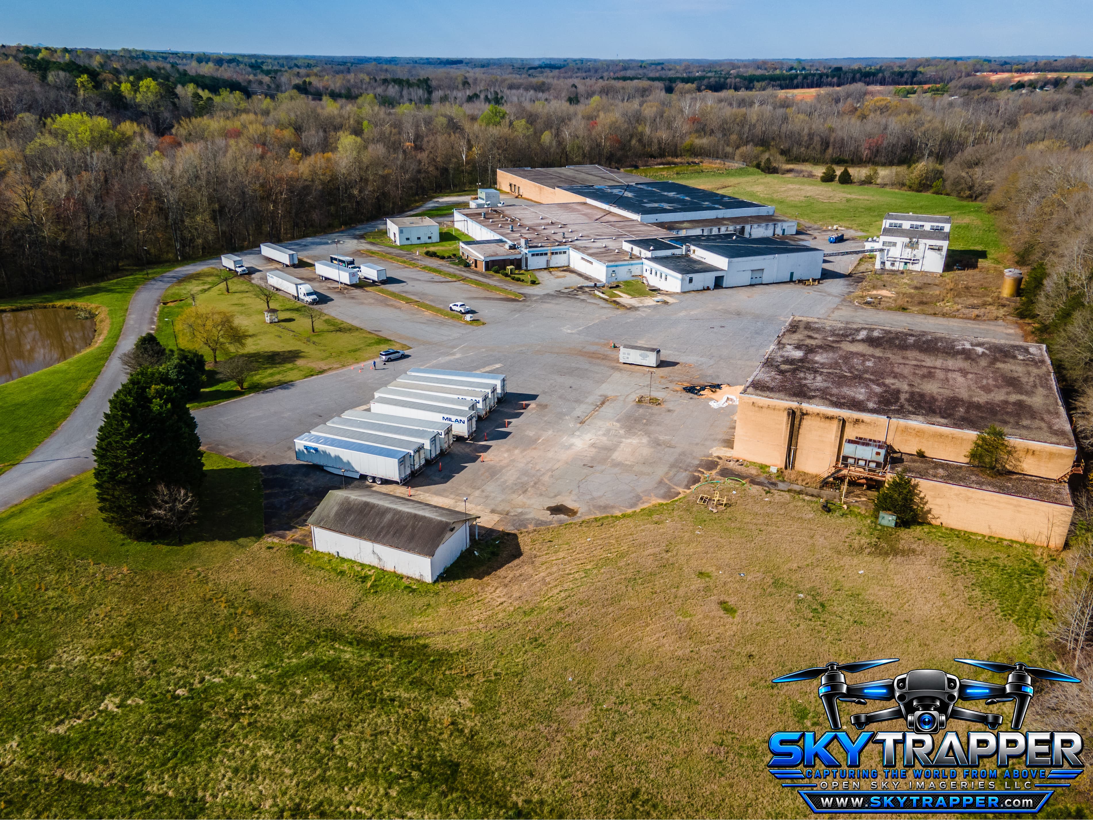
Aerial drone view of a large industrial facility with multiple warehouse buildings, loading areas, parked semi-trailers, expansive paved lots, surrounding green space, and wooded land.
Industrial / Real Estate
Aerial drone photograph of a large industrial warehouse and equipment yard featuring multiple loading bays, service trucks, heavy machinery, adjacent commercial buildings, and surrounding wooded areas.
Aerial Photography
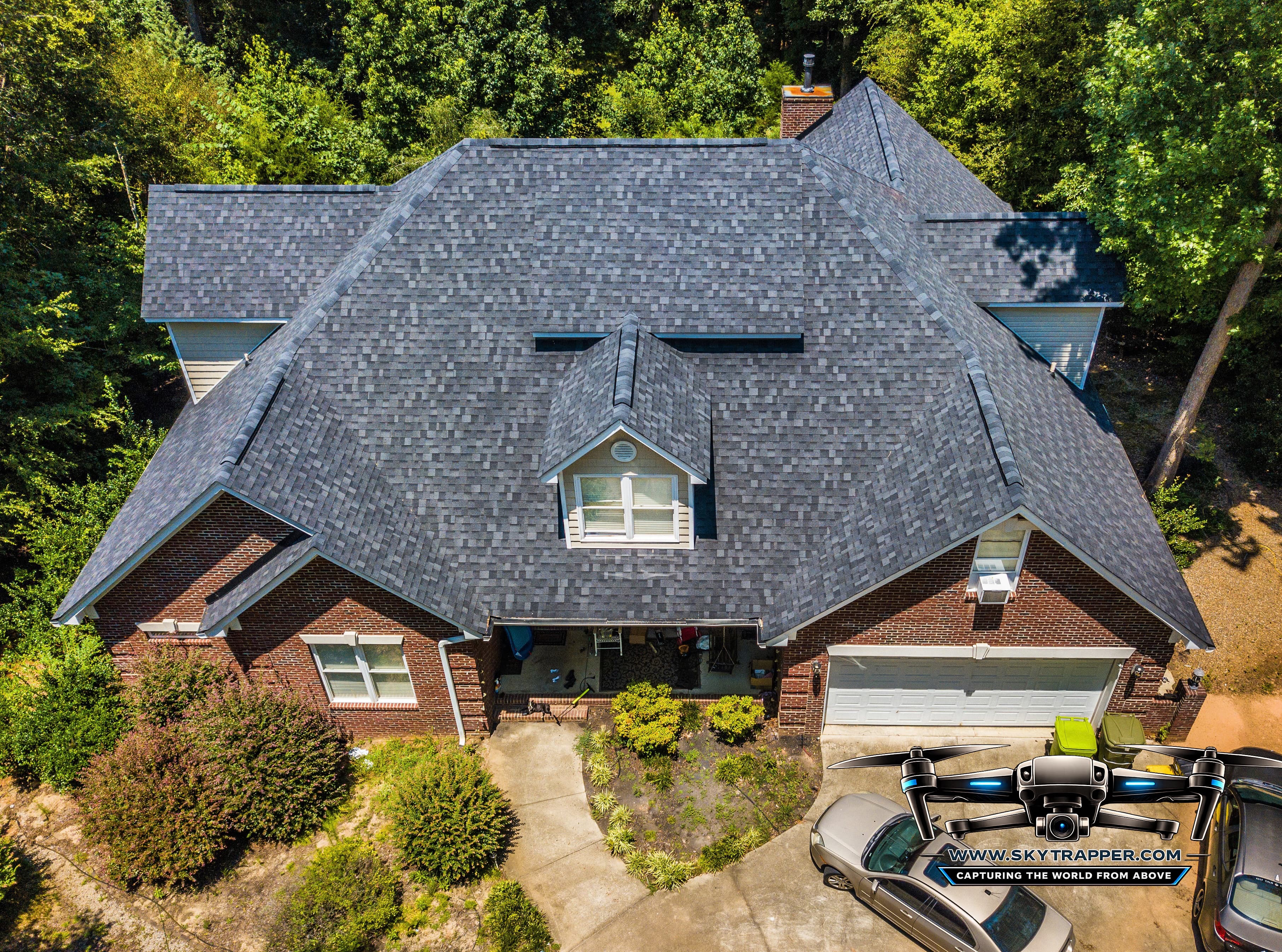
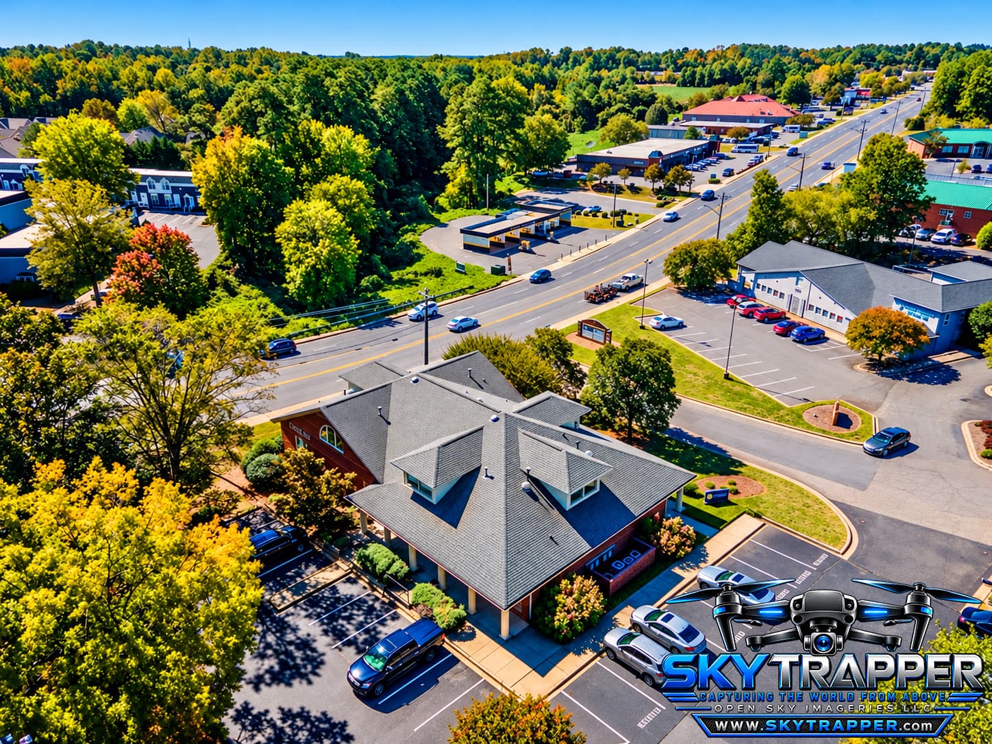
Aerial drone photograph of a brick residential home featuring a large gray architectural shingle roof, multiple roof slopes, a central dormer window, chimney, attached two-car garage, landscaped front yard, and surrounding trees.
Residential
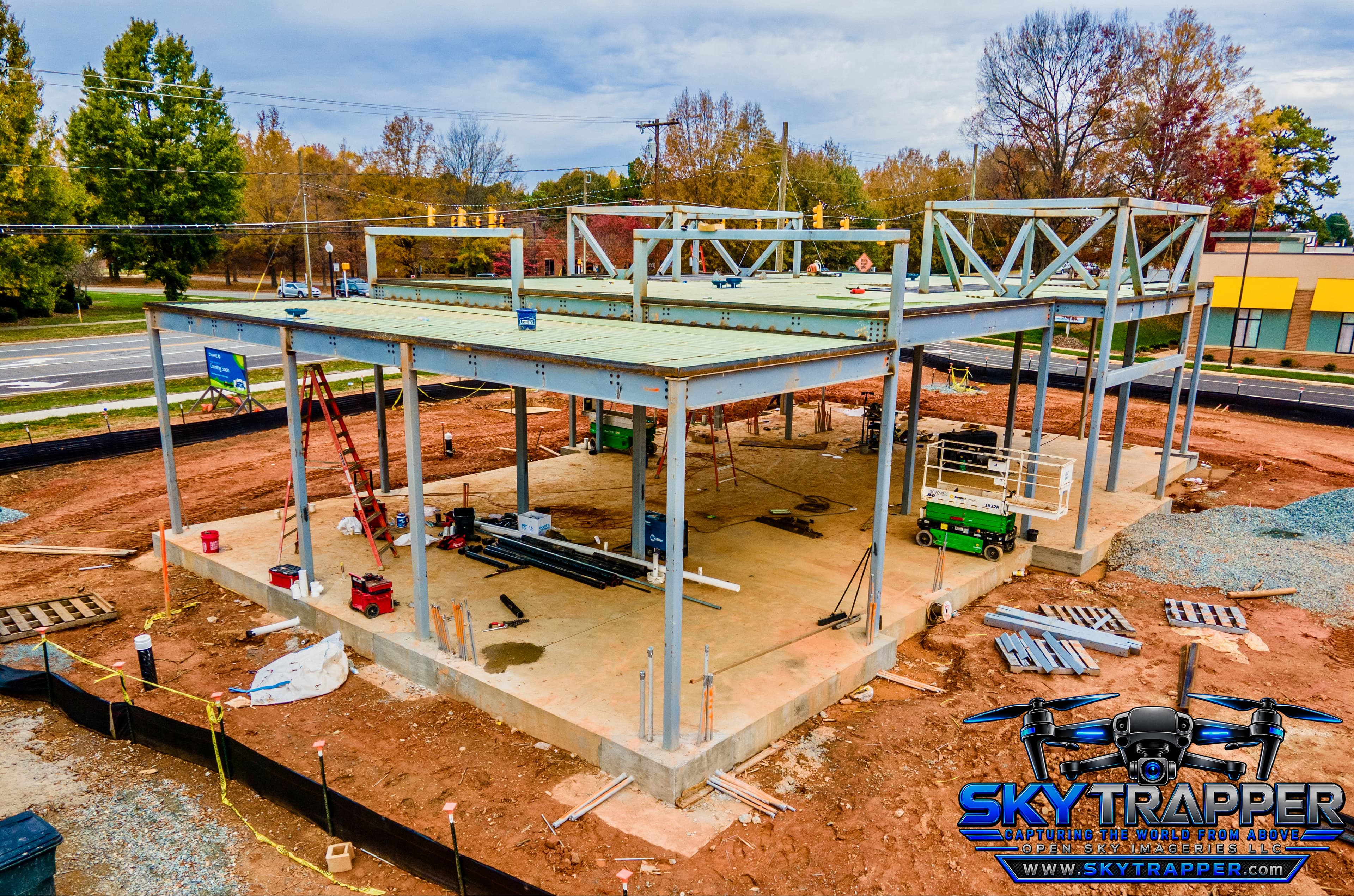
Aerial drone photograph of a commercial building under construction, showing structural steel framing, elevated metal decking, concrete foundations, construction equipment, and building materials at an active jobsite.
Construction & Development
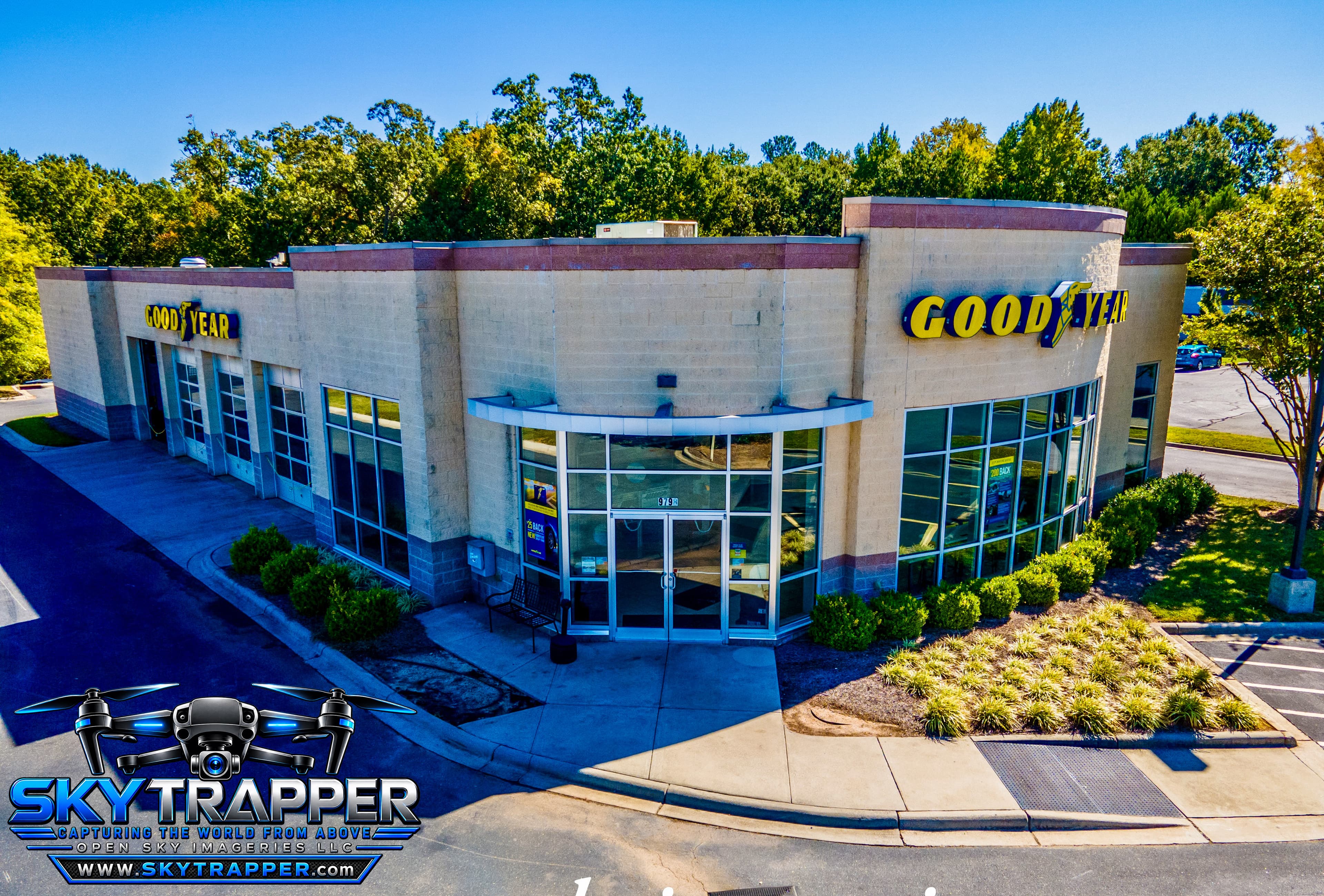
Aerial drone photograph of a Goodyear automotive service center featuring branded storefront signage, multiple vehicle service bays, a glass-front entrance, landscaped grounds, and surrounding parking areas.
Commercial
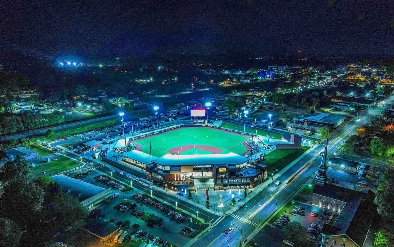
Nighttime aerial drone photograph of an illuminated baseball stadium, showing the brightly lit playing field, grandstands, stadium buildings, surrounding streets, parking areas, and city lights.
Sports & Events
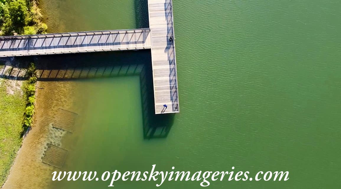
Top-down aerial drone photograph of a wooden boardwalk extending from a tree-lined shoreline to a rectangular observation platform over green water, with railings casting long shadows onto the water.
Aerial Photography
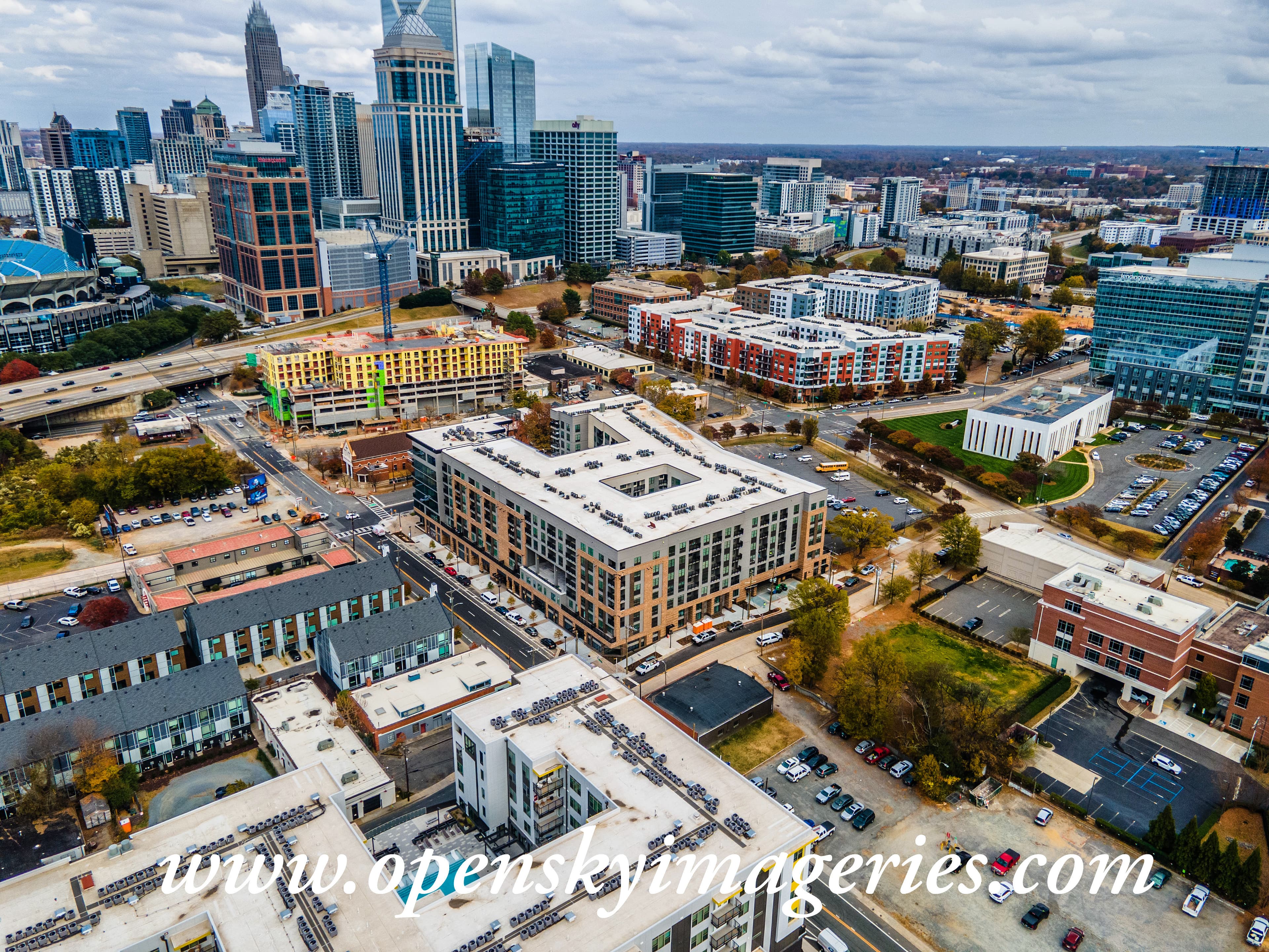
Aerial drone photograph of Uptown Charlotte, North Carolina, showing downtown skyscrapers, mid-rise apartment buildings, commercial properties, an active multistory construction site with a tower crane, and surrounding city streets.
Commercial
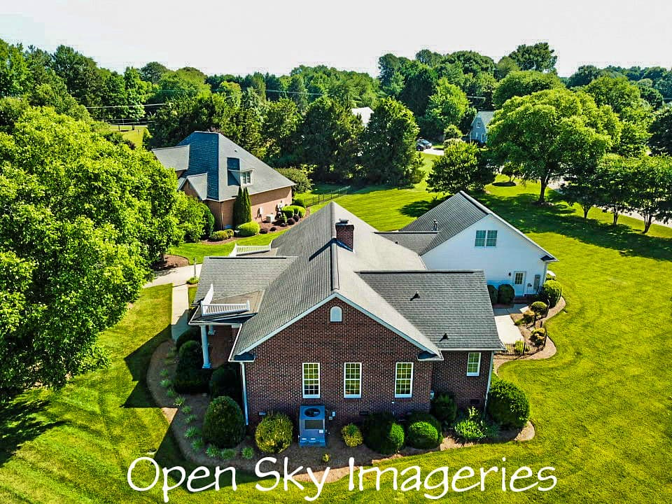
Elevated drone view of a brick suburban residence with gray shingle roof, attached white exterior section, landscaped gardens, green lawn, and mature trees.
Residential
Aerial photograph of several pontoon boats gathered along a wooded lakeshore, with people socializing on boats and along the shoreline while others swim in the lake.
Sports & Events
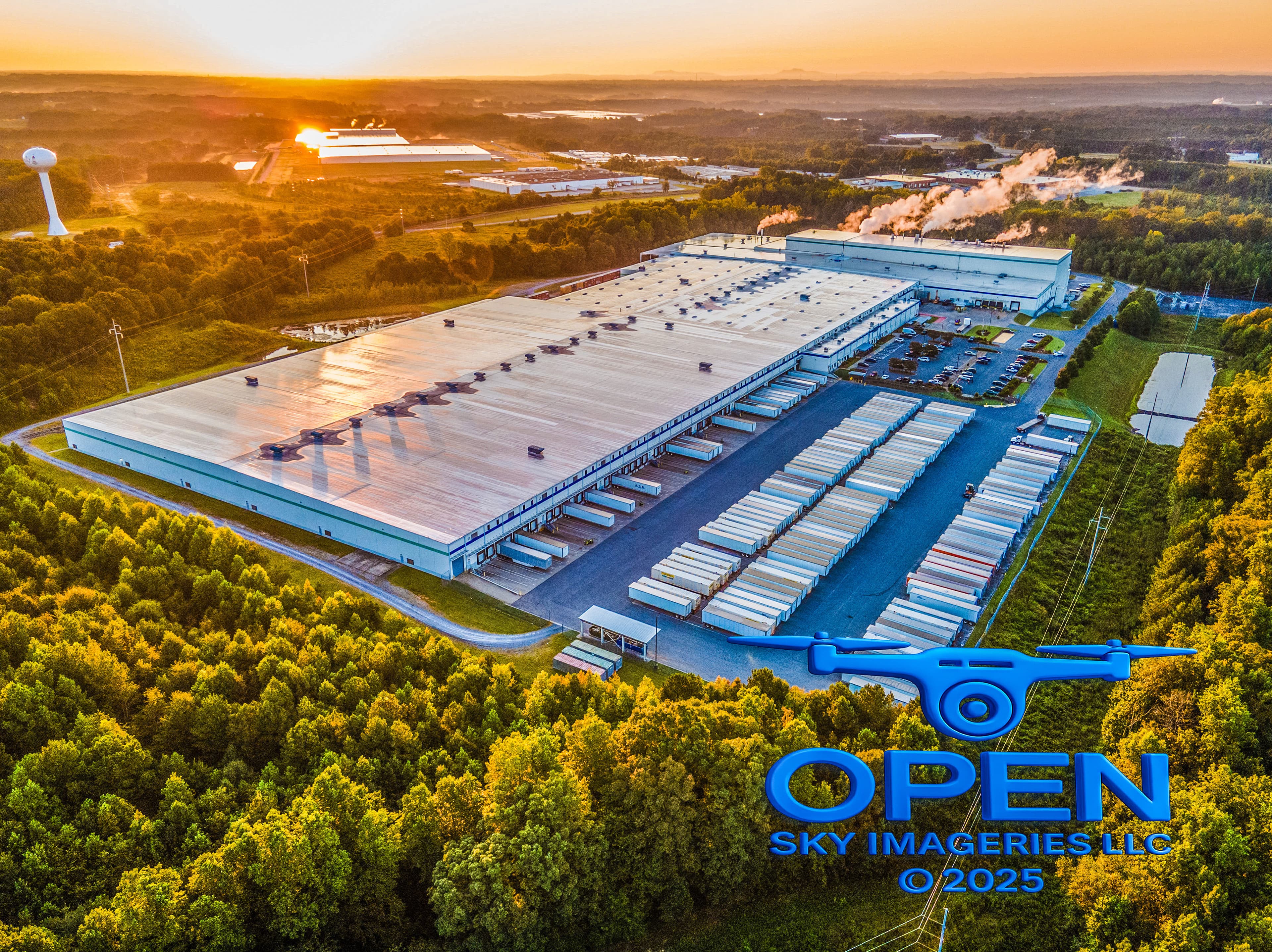
Golden-hour aerial photograph of a large industrial warehouse and distribution complex with loading docks, rows of parked trailers, parking areas, surrounding woodland, and nearby industrial buildings.
Industrial / Real Estate
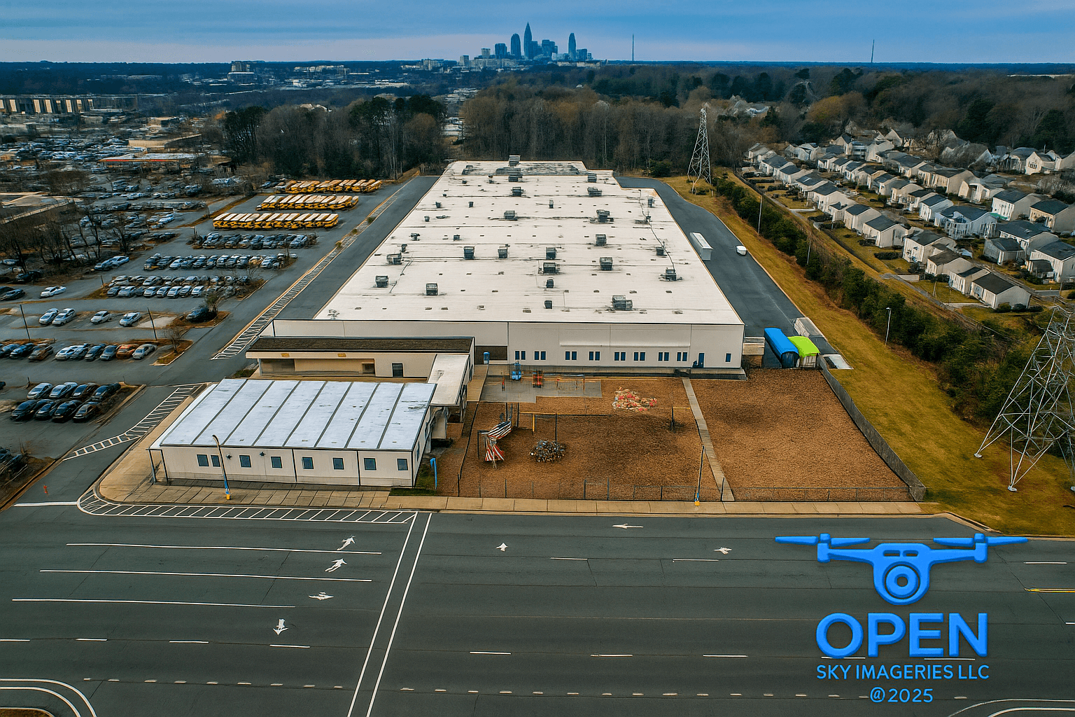
Aerial view of a large industrial facility with a flat white roof, extensive vehicle parking and storage areas, adjacent residential neighborhoods, and the Charlotte skyline in the distance.
Industrial / Real Estate
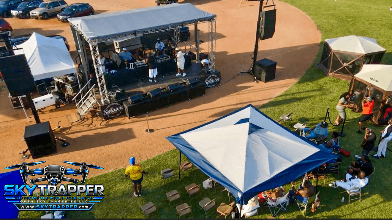
Elevated aerial view of an outdoor DJ event with performers on a covered stage, sound equipment, event tents, and attendees seated beneath a canopy.
Community & Institutional
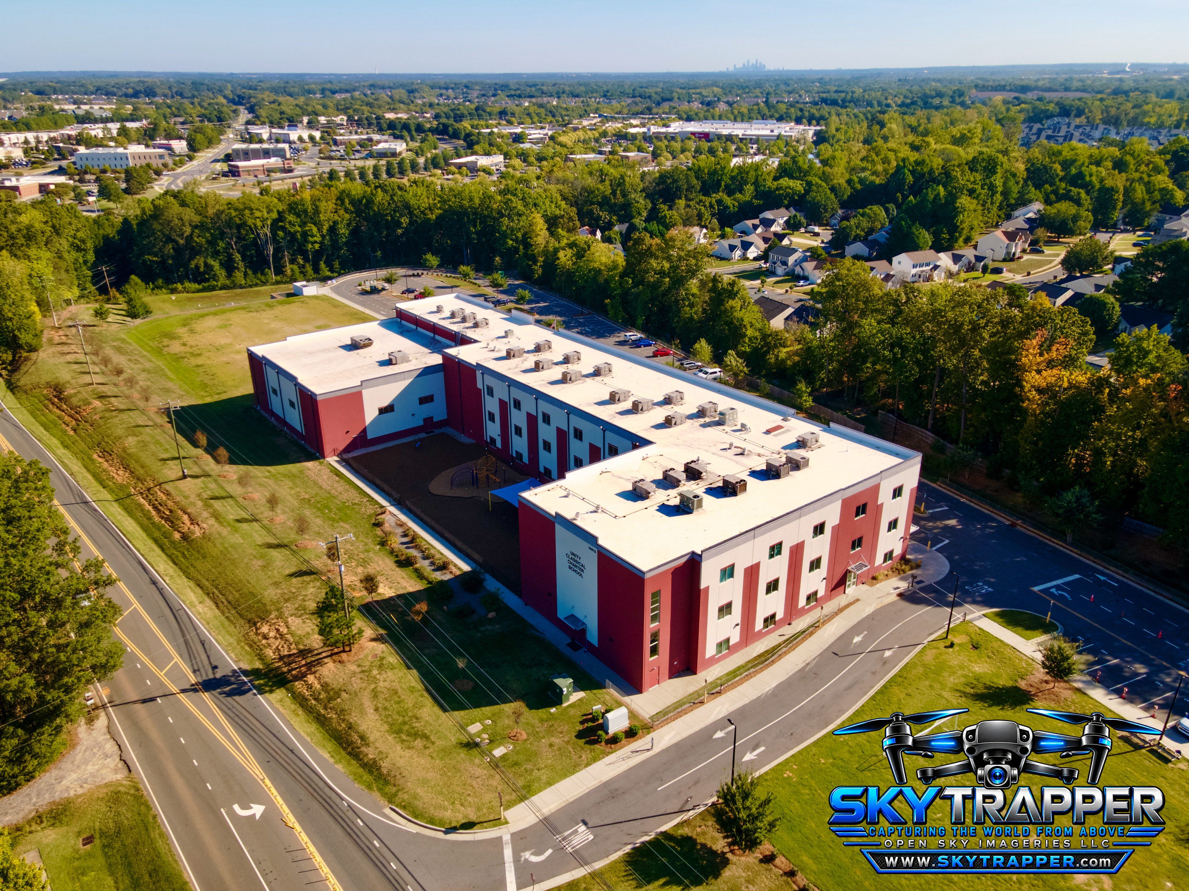
Oblique drone photograph of a large red-and-white multistory building with flat rooftops, landscaped grounds, parking areas, surrounding roads, and nearby residential neighborhoods.
Commercial
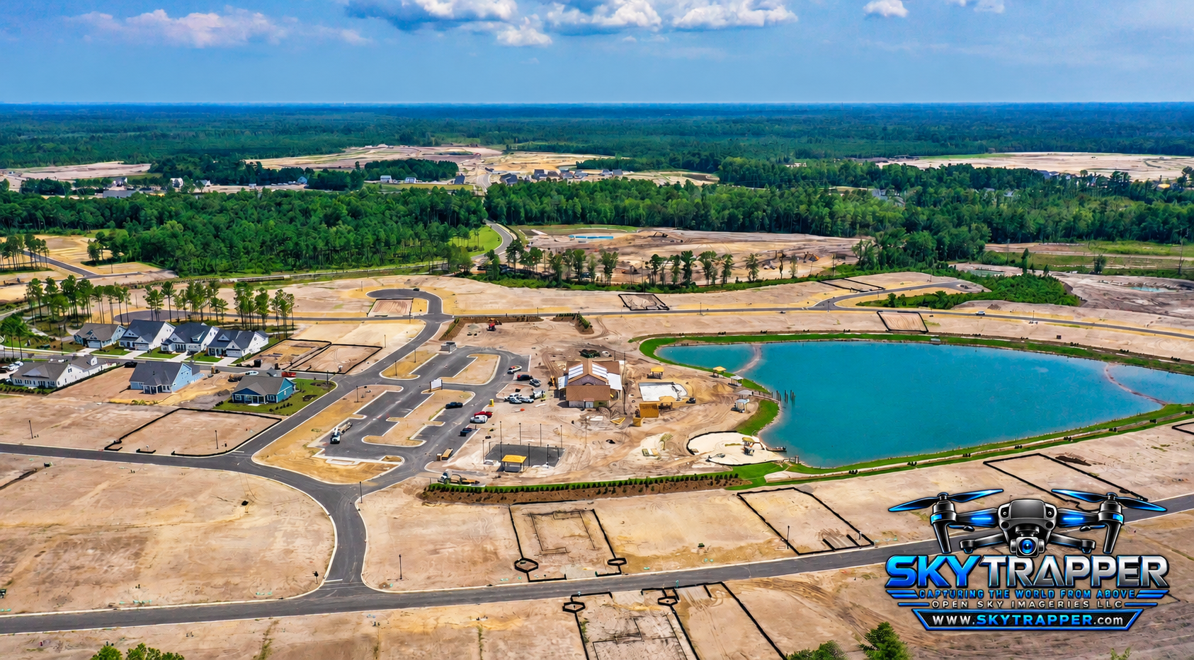
Wide aerial photograph of a residential development under construction, showing newly paved roads, graded homesites, completed houses, a large pond, and surrounding wooded areas.
Construction & Development
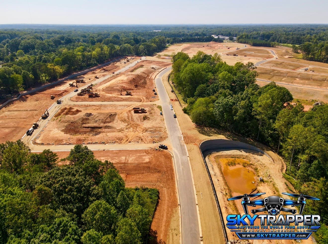
Aerial drone photograph of a large construction development featuring earthmoving equipment, graded building sites, newly paved roads, stormwater infrastructure, and surrounding woodland.
Construction & Development
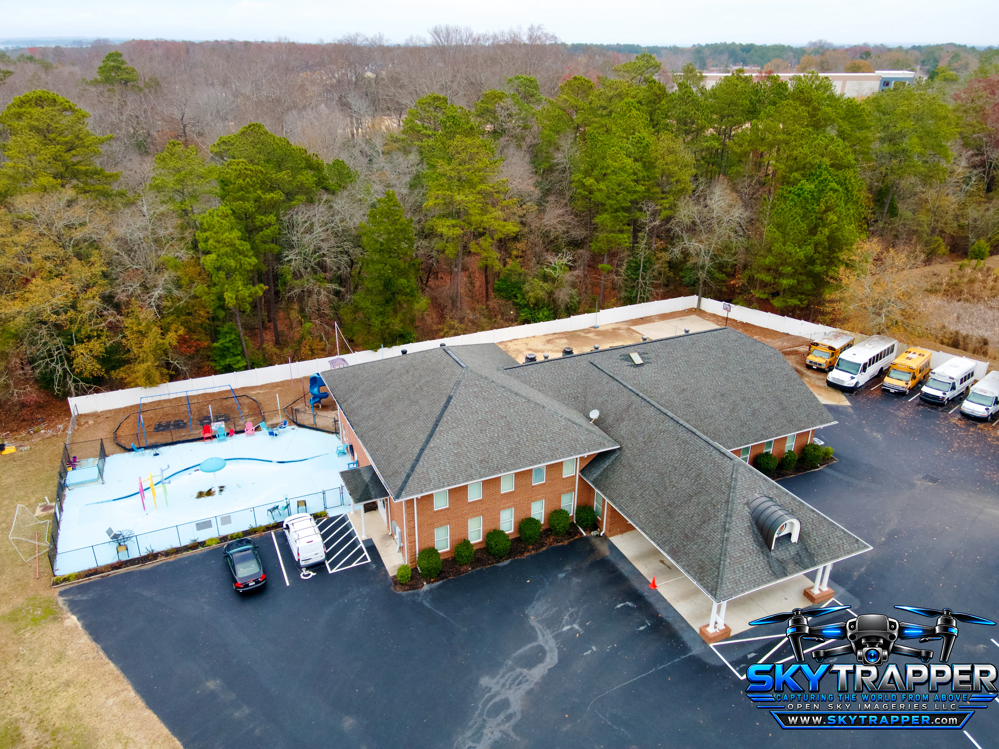
Elevated drone photograph of a large brick institutional building with a gray shingle roof, covered entrance, parking areas, several buses and vans, fenced outdoor play area, and surrounding woodland.
Commercial
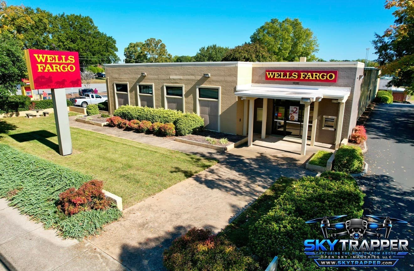
Elevated aerial photograph of a Wells Fargo bank branch with prominent red-and-yellow signage, covered front entrance, ATM, landscaped lawn, shrubs, and adjacent parking area.
Commercial
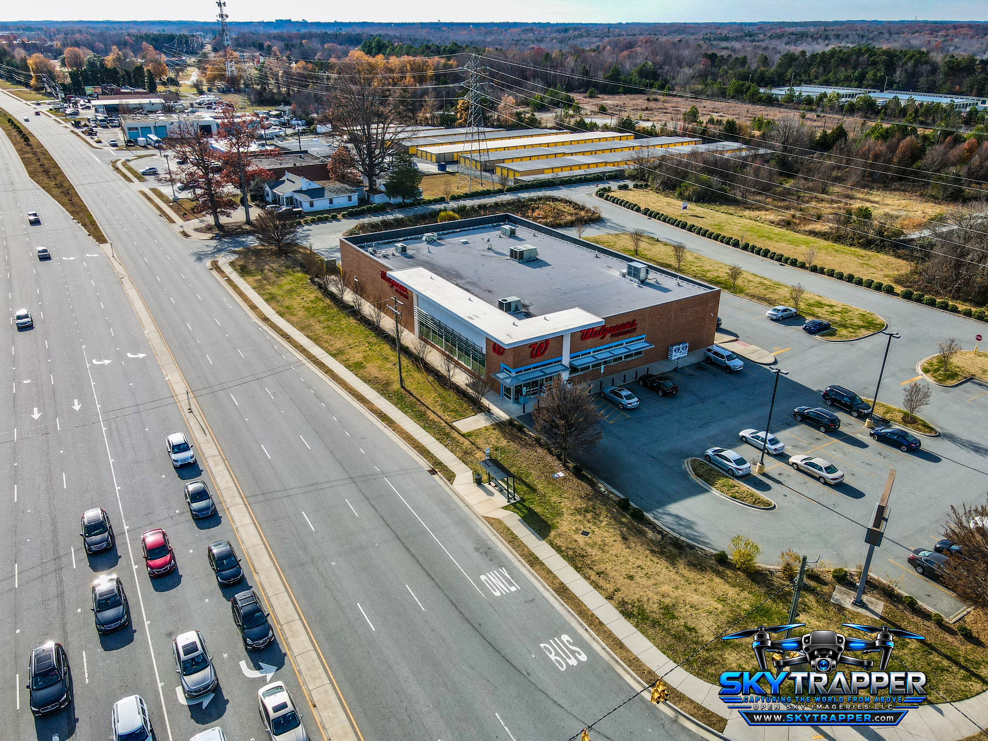
Aerial photograph of a Walgreens retail pharmacy with a flat-roofed brick building, parking lot, adjacent multilane roadway, nearby commercial buildings, and surrounding wooded areas.
Commercial
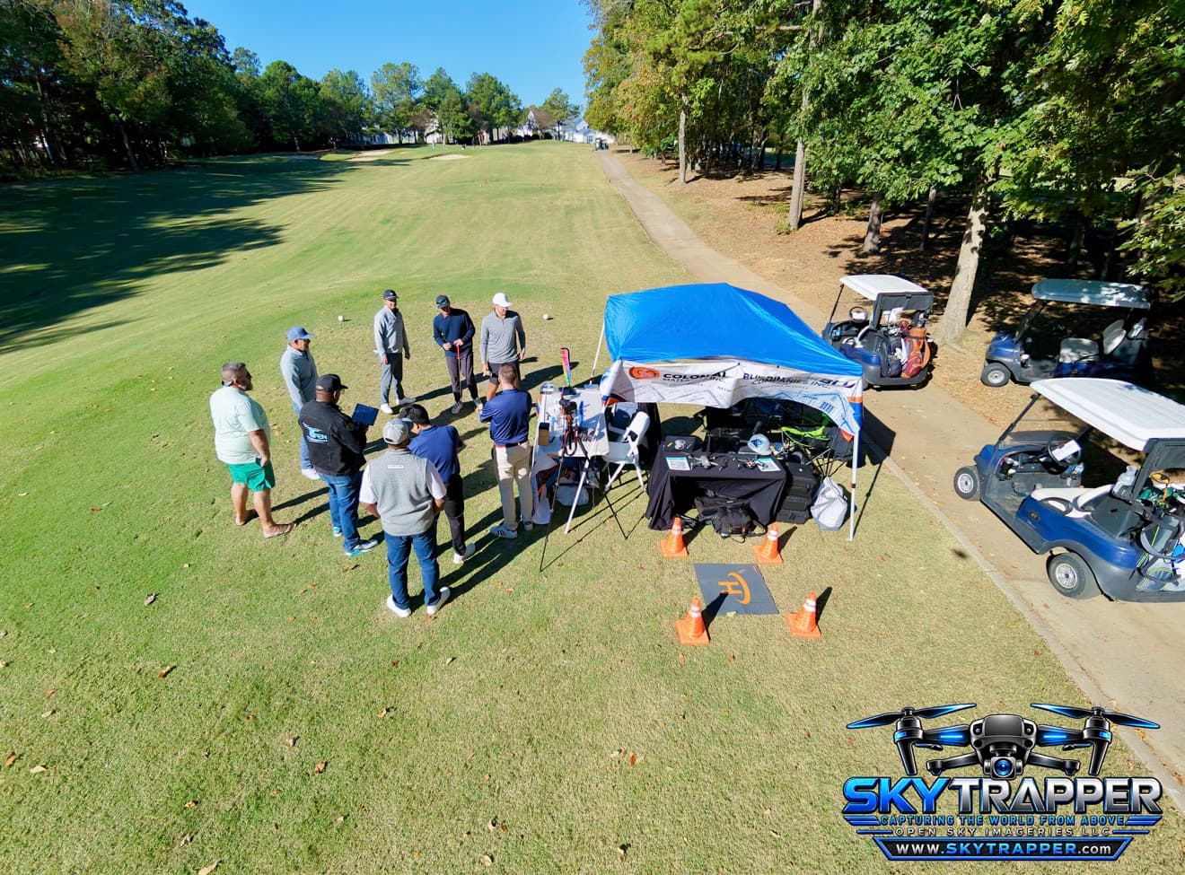
Aerial drone photograph of attendees networking at the Open Sky Imageries LLC and Building With Blu booth beside a golf fairway during the JCS Builder Appreciation Golf Tournament in Charlotte, North Carolina.
Sports & Events

Operator Perspectives
The frame begins with where you choose to stand.

A study in viewpoint, composition, timing, and scale—the visual perspective of the operator behind the work.

Open Sky / Nationwide capability

ONE OPERATOR SIGNATURE. A NATIONWIDE NETWORK.

Open Sky Imageries supports projects nationwide through a network of pilots across the United States.

Brian’s Sky Trapper perspective remains part of the company’s broader project capability, with Open Sky Imageries serving as the project and engagement authority.

Open Sky Imageries

BRING THE NEXT PROJECT INTO VIEW.

Start a Project