
Industry / Construction & Development
A clearer view of a changing site.
Aerial imagery for builders, developers, and project teams communicating progress, development, and context across the life of a site.
The audience
For the teams moving a place forward.
Builders, developers, and project teams often need a visual reference that shows more than one moment or one ground-level view. Aerial perspective can make the changing relationship between a site, its structures, and its surroundings easier to communicate.
Across the work
Progress is easier to understand with context.
From homes under construction to larger built environments, approved Open Sky imagery shows how scale, access, surrounding land, and visible change can become part of the project story.
Clear scope
A visual record for project communication.
This page is about visual communication for construction and development. Project documentation does not stand in for surveying, engineering verification, inspection certification, photogrammetry, mapping accuracy, legal documentation, safety inspection, or lender certification.
Approved work
The site, from above.
Approved imagery across construction, commercial, and industrial environments. No project names or locations are implied.
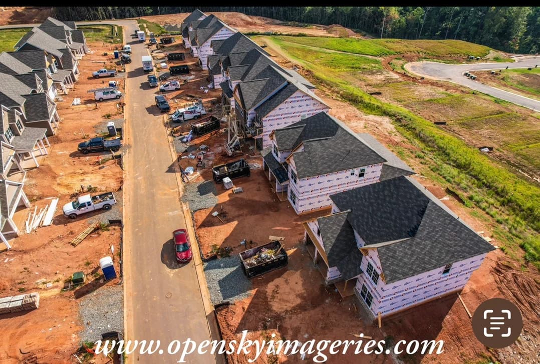
Construction & Development
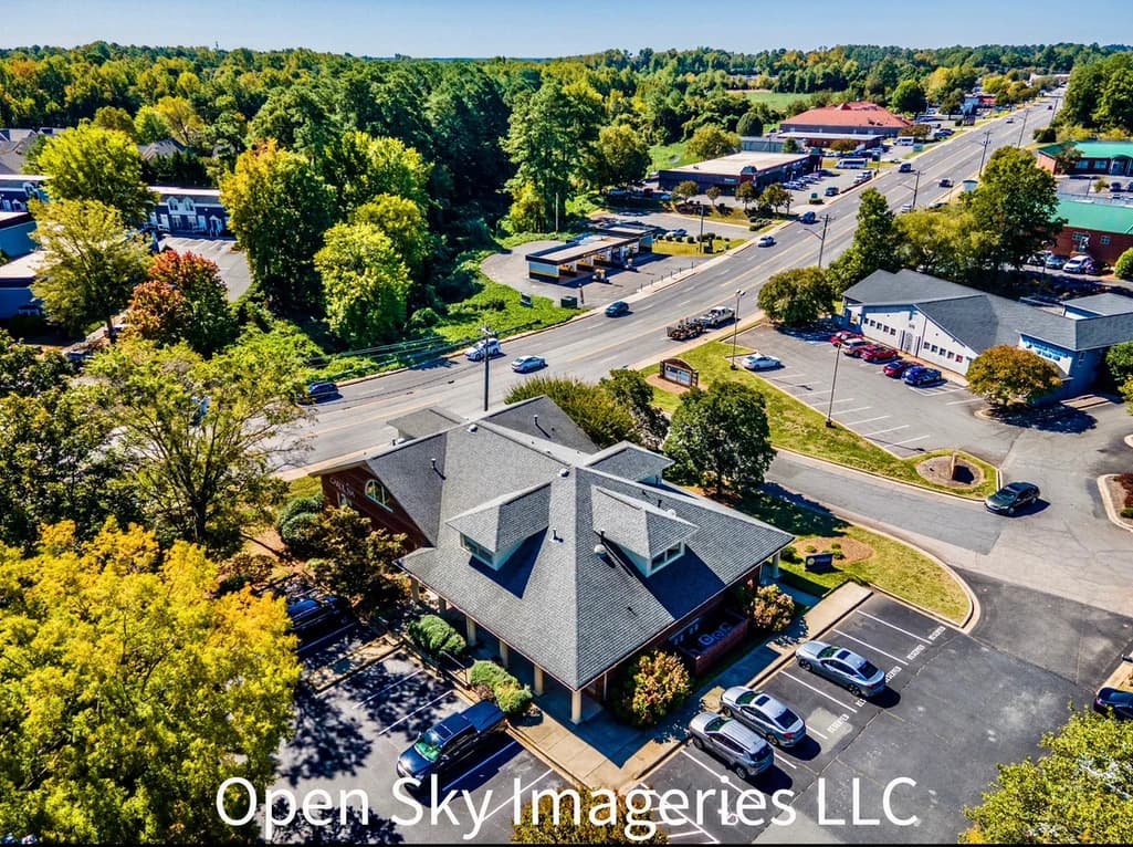
Commercial
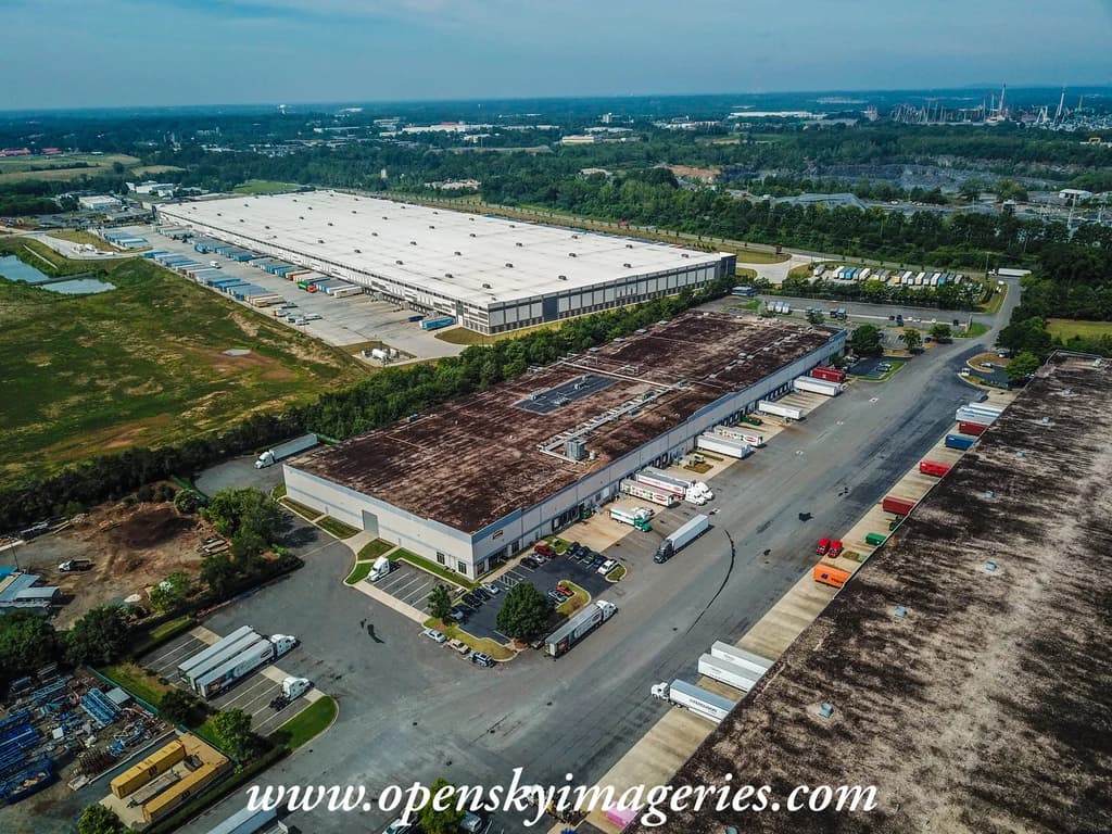
Industrial / Real Estate